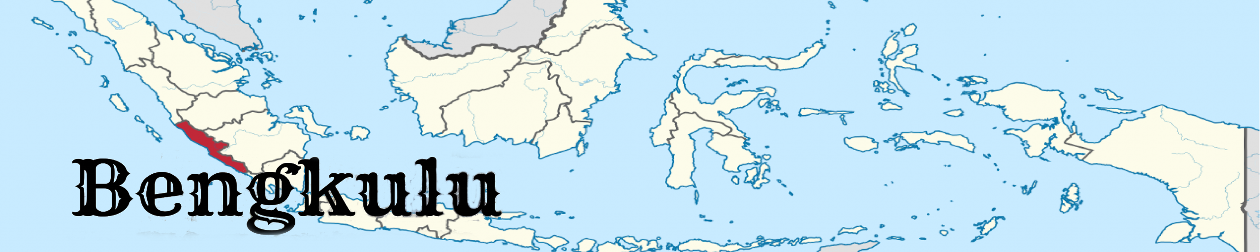
Bengkulu is located in the southwest coast of Sumatra, Indonesia. It was once part of the province of South Sumatra until 1968. Bengkulu Province is located in the west side of the Bukit Barisan mountains. The total area of Bengkulu province reached approximately 19,813 km2.
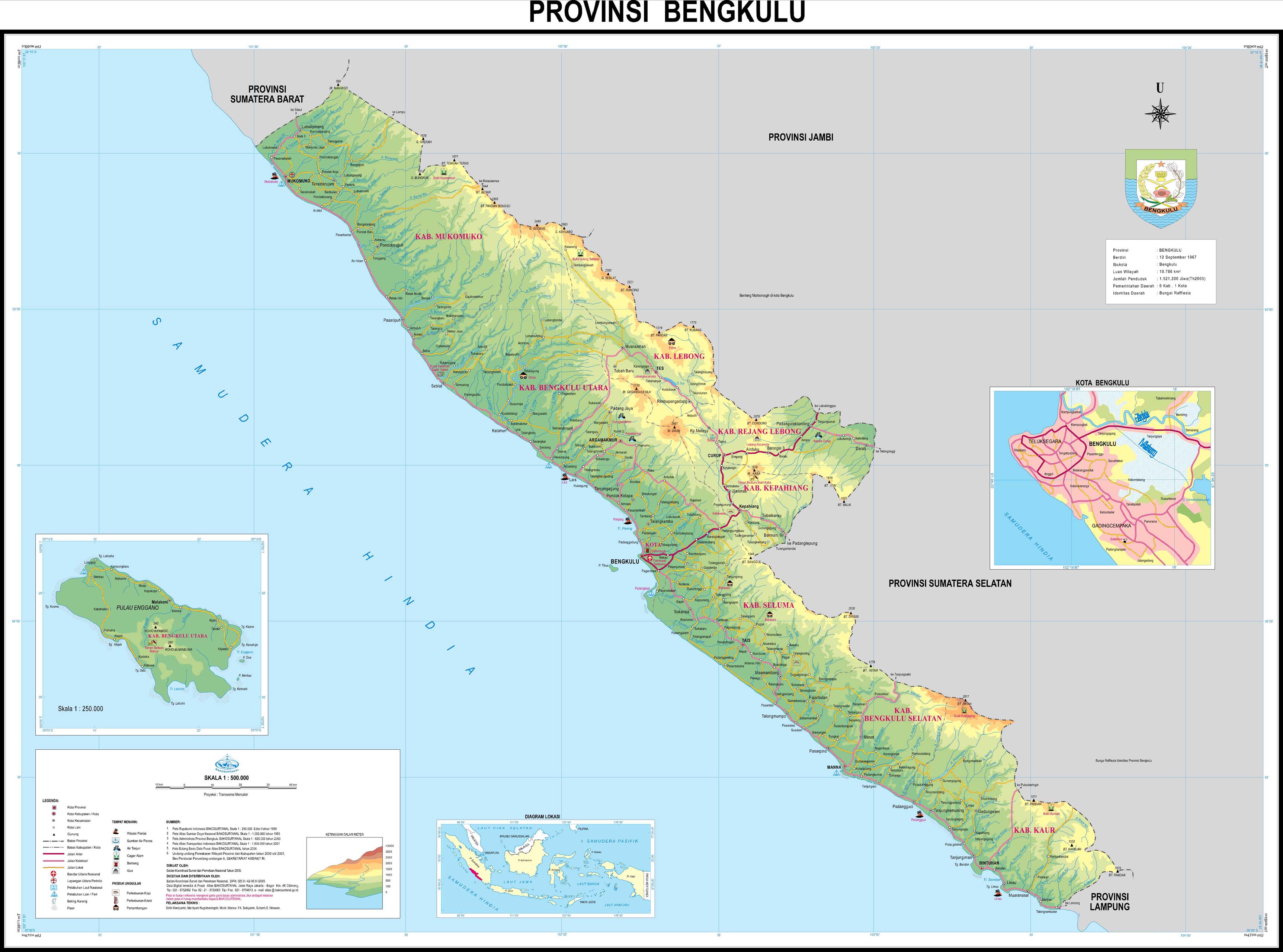
Bengkulu’s climate is classified as tropical with a large amount of rainfall throughout the year. In Bengkulu, the annual average temperature is 26.8°C. Within a year, the average rainfall is 3360 mm. Bengkulu province is divided into 9 districts and 1 municipal city.
As with other parts of Indonesia, Indonesian language is the official language in all formal occasions, institutions, and government affairs. However, local languages are still widely used in daily life. Most indigenous languages in Bengkulu belong to Malayan group of Austronesian languages such as Bengkulu Malay, Lembak, Rejang, Pekal and Minangkabau varieties.
Bengkulu people are mostly come from Javanese and Rejang ethnic. The economic commodities are taken from coal mining which is exported to Malaysia, Singapore, South Asia and East Asia. Besides, Tuna and Mackerel fishery is the second commodity after agricultural products, which is consist of ginger, bamboo and rubber.

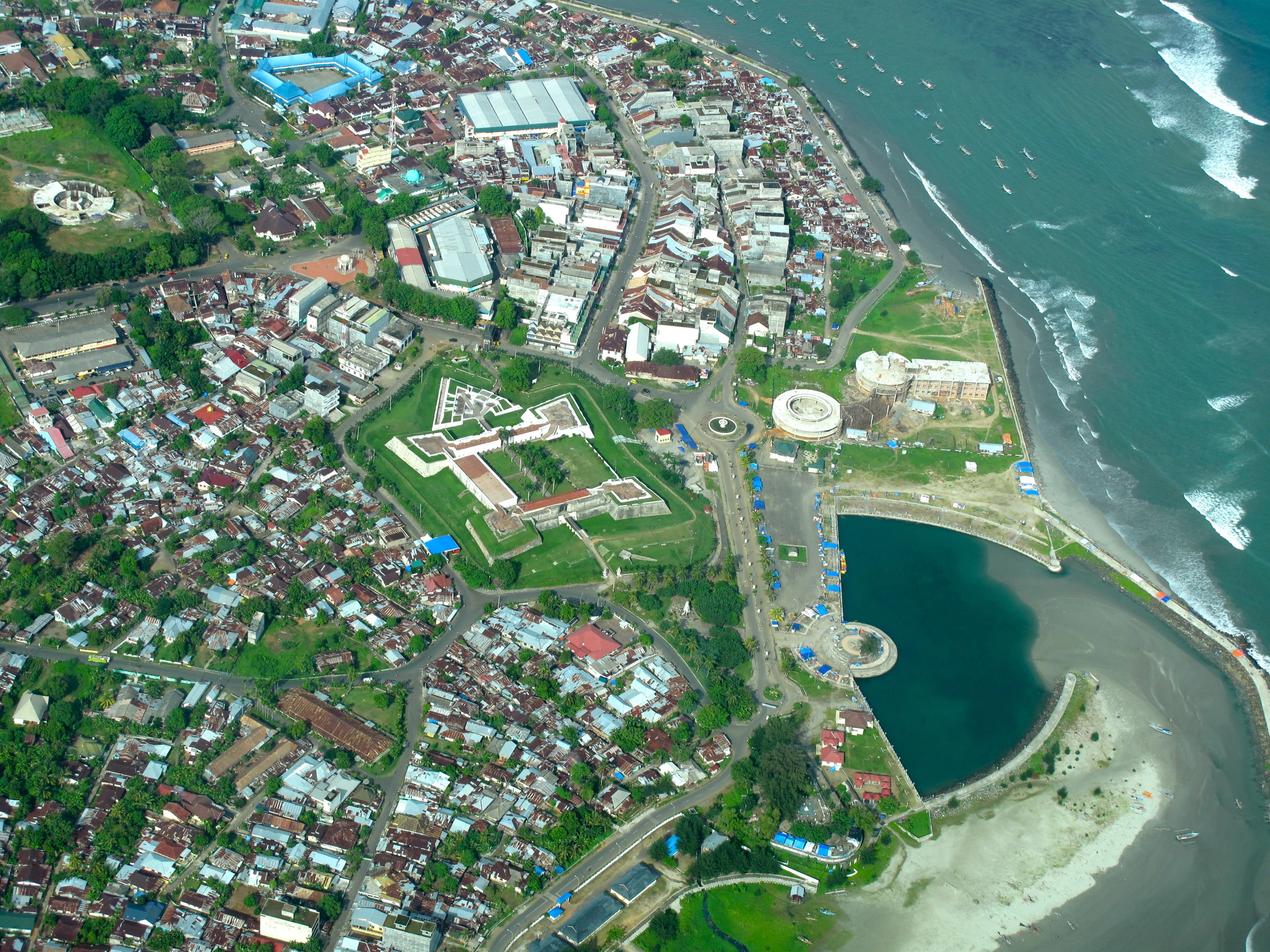
Bengkulu was once colonized by the British and inherited many things from the British. Two iconic things of Bengkulu are Fort Malborough, the biggest fort in Southeast Asia and Raflesia Arnoldi, the biggest flower in the world which was named after Sir. Stamford Raffles and Dr. Joseph Arnoldi.
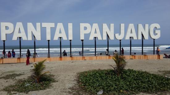
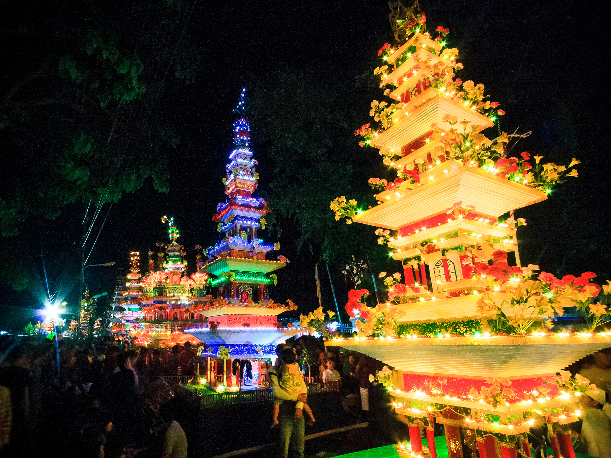
Tourism destinations in Bengkulu are Pantai Panjang Beach, Heritage sites of Fort Marlborough, Tikus Island, Enggano Island Bukit Kaba Crater, Curup, Lake Dendam, Lake Mas and Annual Festival of Tabot.